|
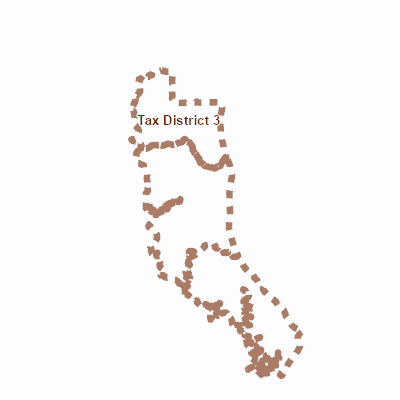
Width: 400 Height: 400 Extent:
YMin: 225357.64895633186 XMax: 1541682.9814169551 YMax: 439230.87535179214 Spatial Reference: 102685 (2248) Scale: 615954.8920189256 |
| ArcGIS REST Services Directory | Login |
| Home > services > Countywide > Tax_Districts (MapServer) > export | Help | API Reference |
|
|
Width: 400 Height: 400 Extent:
YMin: 225357.64895633186 XMax: 1541682.9814169551 YMax: 439230.87535179214 Spatial Reference: 102685 (2248) Scale: 615954.8920189256 |